Archive
Climate GIS Data from WorldClim.org
Some of the most sought-after GIS data sets are those on climate, and rightly so, given its importance. Worldclim.org is one of my favorite sources. WorldClim’s data sets include minimum and maximum temperature, average temperature, precipitation, solar radiation, wind speed, water vapor pressure, plus 19 bioclimate variables (including such items as minimum temperature of the coldest month). The following link explains the variables:
https://www.worldclim.org/bioclim
The following link provides access to the data, at a variety of spatial resolutions from 30 seconds to 10 minutes, all in grid format, as zipped geoTIFF files:
WorldClim is supported by Feed the Future to the Geospatial and Farming Systems Consortium of the Sustainable Intensification Innovation Lab. However, you will need to dig for metadata on WorldClim–the site is extremely spartan, and take note – contains some ads – but don’t let that put you off — if you want a no-nonsense, quick way of accessing specific types of climate data, this is a valuable resource.

Speaking of climate, ah! – the skies above Wellington, New Zealand, on the Autumnal Equinox there, March 2019. Photo by Joseph Kerski.
–Joseph Kerski
A review of the Humanitarian Data Exchange
The Humanitarian Data Exchange, https://data.humdata.org/, has as its stated goal offering users to “find, share, and use humanitarian data all in one place”. This seems like a tall order, but the resource in my judgment does an admirable job of meeting this goal. What constitutes “humanitarian data”? Broadly defined, it is any data that could be used to benefit humanity–population, health, environmental, and much more. At the time of this review, the site contained 9,673 datasets in 253 locations from 1,189 sources. HDX is managed by OCHA’s Centre for Humanitarian Data, located in The Hague. OCHA is part of the United Nations Secretariat and is responsible for bringing together humanitarian actors to ensure a coherent response to emergencies. The HDX team includes OCHA staff and a number of consultants who are based in North America, Europe, and Africa. The site seems to focus on geospatial data.
One unique and interesting aspect of the Humanitarian Data Exchange as befitting the name of “exchange” is that the site offers users the ability to clean and visualize their data with easy-to-use tools that work with the Humanitarian Exchange Language (HXL) standard. The site offers assistance in tagging one’s data, spotting for potential errors, and creating charts and graphs from data. Indeed, the resource is more than a geodata portal–it is a community of data sharing and sharers, including a blog.
I recently used the Humanitarian Data Exchange to obtain data in Brazil for revising some GIS-based lessons on for our set of exercises for ArcGIS Pro. I found the site to be straightforward and easy to use, with results that were actually incredibly pertinent to my search terms of such things as states of Brazil political boundaries, hydrography, and the Human Development Index. I also appreciated the clear graphics that told me right away what format the data were in–zipped shapefile, XLS table, and so on. One can filter by location, file type, license type (a very nice feature), and organization, and even follow organizations of interest.
I highly recommend using the Humanitarian Data Exchange in your day to day GIS work.
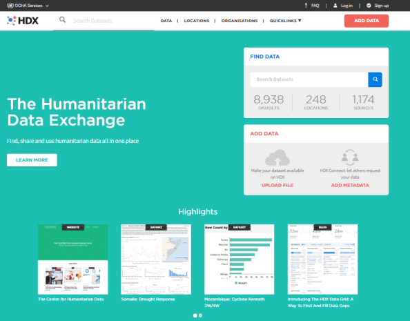
The Humanitarian Data Exchange.
–Joseph Kerski
Contributors
Gallery


Recent Comments