Reflections on Why AI Needs to be Digitally Resilient
Geographer, oceanographer, and Esri Chief Scientist Dr Dawn Wright has written this article in ArcNews about why Artificial Intelligence (AI) needs to be digitally resilient. Because Dr Wright discusses the data implications of AI, this article has great relevance to the readers of the Spatial Reserves GIS data blog. ”As we build and use GeoAI, we must consider who is training it. Who is building the user interfaces and for what kinds of users,” states Dr Wright at the outset, which touches on our oft-mentioned theme in this blog about “know your data”.
What does Dr Wright mean by digital resilience? ”Resilience is the ability to deal with change and threats; to absorb disturbance, stress, and catastrophe; and to recover quickly from challenges and return to a desired state. We often hear about the necessity of environmental and climate resilience for our survival on Earth, considering the effects of people’s influence on the atmosphere, biosphere, and geosphere. However, digital resilience is also a key factor.”
In the article, Dr Wright identifies and describes 5 principles of digital resilience: 1. Making data and code “available” is not enough. ”We need to be transparent about what we are doing with our data and our code, including how it was trained as part of a GeoAI model. Transparency can be achieved by sharing the workflows done with the data in a “virtuous chain” or “virtuous cycle.” ]
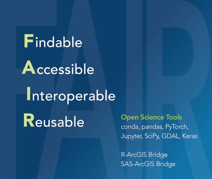
2. Integrate via interoperability. To ensure digital resilience, we as a GIS community must foster interoperability by utilizing tools that can be translated into other formats. This means that geospatial data is findable when described by rich and accurate metadata, accessible when shared in a multitude of machine-readable formats, interoperable when easily published and shared using international open data standards, and reusable when released with clear and accessible data usage licenses.
3. Ease leads to exposure, and exposure leads to adoption. Certainly the ease of use of much in the modern GIS toolkit has increased its exposure and adoption. Adoption brings some concerns, however, in misuse and misinterpretation which we have written about extensively in this blog (including: Everyone is now a data producer).
4. Consider ethics, empathy, equity, and explainability. “Developers of responsible GeoAI must also consider equity issues such as the use of geospatial technologies for social justice and democratizing access to these technologies.” Search the Spatial Reserves blog on the right side of this blog interface for the term “ethics” and “AI” to read more about ethics as related to GIS and AI that we have recently written.
5. Promote a culture of sharing, engagement, and collaboration.
Dr Wright includes a pertinent set of “to learn more” resources at the conclusion of the article. I look forward to reading your reactions to this article.

–Joseph Kerski


Recent Comments