Karen Payne’s list of Geospatial Data Resources
In the past, we have written about Robin Smith’s free geospatial data listing. Dr Karen Payne at the University of Georgia has published a geospatial data list which is also quite useful. Her list of geodata links is published on Google Spreadsheets and contains over 1,000 links to different portals, data types, and services. Because it is listed in a spreadsheet, make sure you pay attention to and investigate each of the tabs. Categories include scales (global, regional, country), thematic (disaster, imagery, physical, conservation), data types (web apps, tabular, live services), and more. The list’s focus is on freely available data sets used in international humanitarian work, which is Dr Payne’s major concentration in her work. The challenge with all GIS data listings, as we point out in our book, is the updating and curation of such lists, but Dr Payne is committed to updating this one as is evident in the breadth and scope of the listing and in my conversations with her.
Dr Payne is also working with the United Nations, converting their Common Operational datasets into services; specifically, populated places, admin boundaries, their names and codes. This effort could prove to be very helpful to all of us in the geospatial technology community.
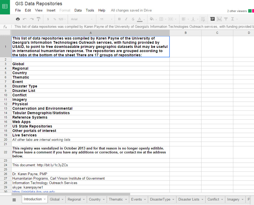
Part of Dr Karen Payne’s geospatial data listing.
-
April 9, 2015 at 8:19 amKaren Payne’s list of Geospatial Data Resources | Geo-How-To News
-
May 17, 2015 at 7:00 pmWalking on Water? Revisiting Reflections on Resolution and Scale | Spatial Reserves
Contributors
Gallery


Recent Comments